Walking from the mountains to the sea, observing "the present moment"
—Reconnecting the landscape of Wang Yue with 10 crops—
We envision UMI2050 in Wangyue, a town surrounded by the sea and mountains. The landscape, nurtured by the interplay of nature, industry, and daily life, is disappearing and becoming fragmented due to changes in industrial structure and population decline. By walking along the art trail and observing the present, we will explore the relationship between the natural environment and people's activities, and the possibility of connecting the landscape to the future.
The changing landscape of Ogoe Town along with the sea
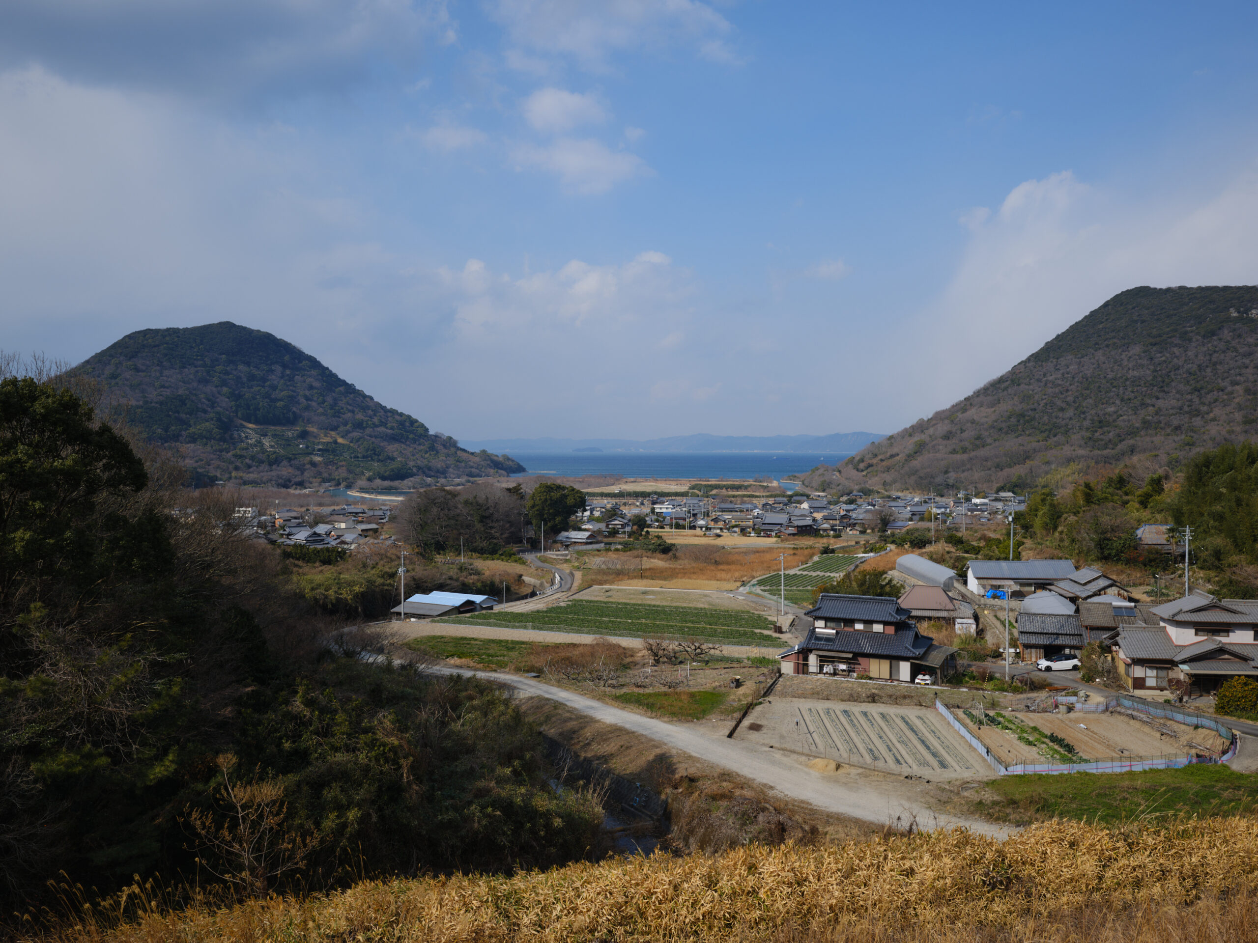
Located in the northeastern part of Sakaide City, Kagawa PrefectureOgoe TownOgoe is a town with a population of approximately 740 people and an aging rate of 641 TP3T. It faces the Seto Inland Sea to the north and is surrounded by mountains on the remaining three sides, making it a naturally rich area. Mount Ogoe rises in the center, with two settlements formed to its east and west. Originally separate villages, they are now a single town. It once prospered from fishing and shipping, producing salt, sugarcane seedlings, and cotton—the three white products of Sanuki. In addition to self-sufficient crops such as sweet potatoes and wheat, the cultivation of cash crops such as tobacco and fruit trees was also thriving. While landscapes of reservoirs and rice paddies are common in Kagawa Prefecture, Ogoe, situated between mountains and the sea, also features reservoirs and rice paddies, truly embodying the characteristics of Kagawa Prefecture. Ogoe is a peaceful town where nature and history thrive.
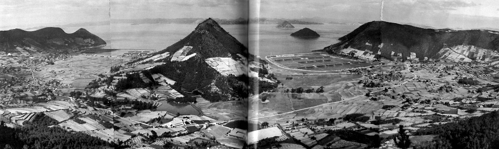

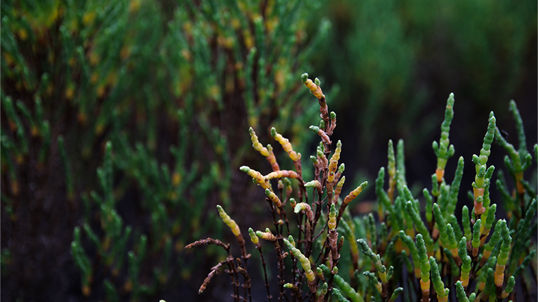
There were once two salt fields along the coast, and in the brackish water area where seawater and freshwater mix, the rare plant "Akkeshisou" (Akkeshi grass), also found in Akkeshi, Hokkaido, grows naturally. It is said that its seeds were carried there from a nearby bay or by Kitamae ships. In recent years, in response to the decline of seaweed beds, marine conservation activities have been promoted in cooperation with the local community, such as protecting juvenile fish and cultivating eelgrass seeds, and efforts to restore the marine environment continue throughout the town of Ogoe.
Meanwhile, the former salt fields are now used as two industrial waste disposal sites. One is a managed disposal site that also attempts multifaceted use that takes advantage of the local natural environment, such as natural restoration and shiitake mushroom cultivation. The other is a general disposal site that handles construction materials and soil, and the accumulated waste reaches the height of a three-story building. This landscape symbolizes the intersection of Wangyue's former connection to the sea and modern land use.

The importance of oral history demonstrated by the Wang Yue Project
The reason Dot Architects became involved with Wang Yue was,Setouchi TriennaleIt was the "Wang Yue Project." The Setouchi Triennale is an international art festival that uses the power of art to rediscover the nature, culture, and lifestyle of the Setouchi Islands and coastal areas, and is expected to attract more than 1 million visitors in 2025, drawing significant attention every year.
The "Wang Yue Project" is a garden design group based in Osaka. GREEN SPACEThis collaborative project with GREEN SPACE began during the 2022 art festival. The task assigned to this project was to propose ways to improve the environment of Wang Yue. Starting with the development of an orchard named "Orchard Wang Yue," Dot Architects initially participated by setting up farm equipment sheds and exhibition spaces. However, as they became more involved with the town, they came to feel that it was essential to first get to know and understand Wang Yue in depth. Therefore, during the 2025 festival, they conducted multifaceted research, including interviews with local residents and literature research, and exhibited the research process itself as an artwork. With the next festival in 2028 as a target for completion, they are continuously advancing the project through trial and error, moving back and forth between research and practice. It should be noted that the proposals presented in "UMI 2050" this time are not a collaboration with GREEN SPACE, but rather compiled from Dot Architects' perspective.
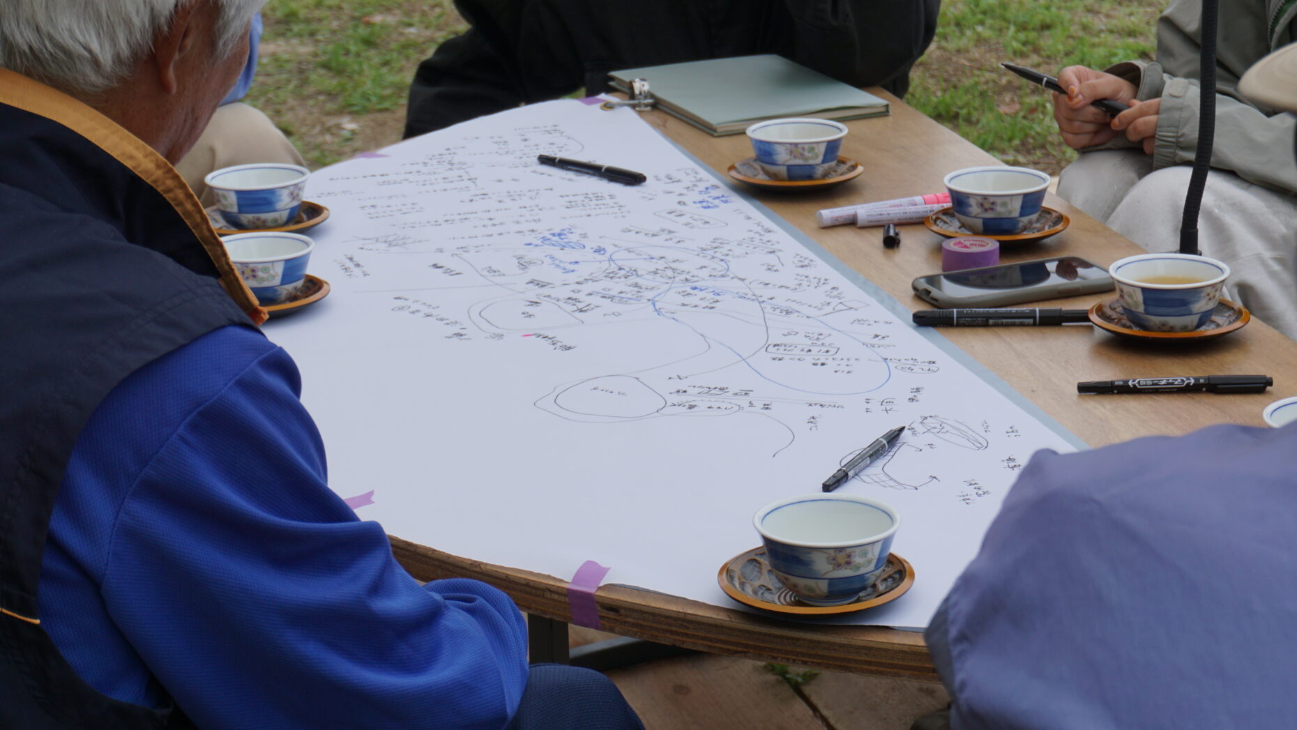
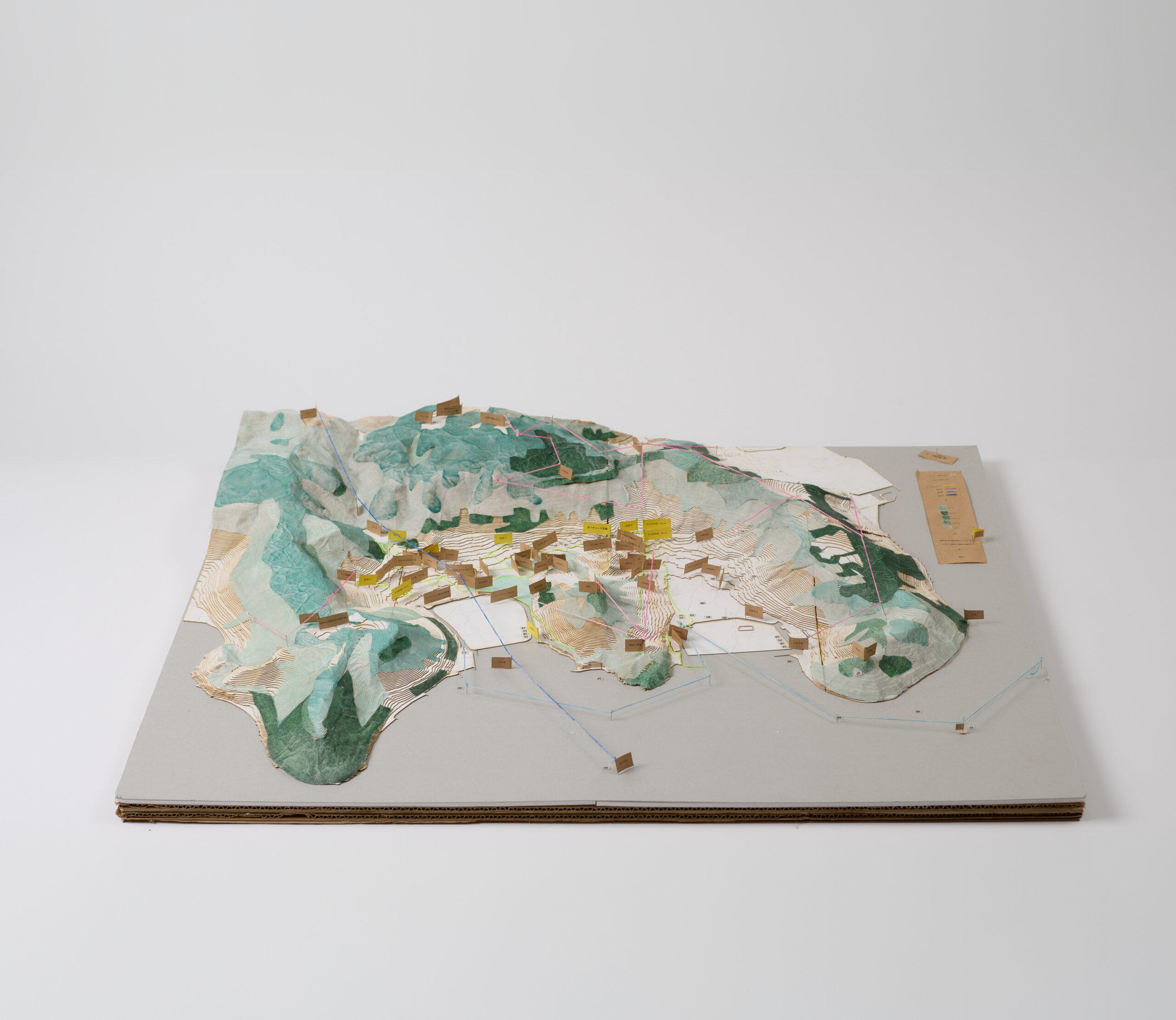
During the 2025 research period, a deck and tables were set up on the "Orchard Wang Yue" site to create a suitable environment, and interviews were conducted with the people of Wang Yue. A method was adopted in which large notepads were spread on the table, allowing both the storyteller and the listener to freely write, thus recording the dialogue process itself as audio and text data. There, local anecdotes and personal memories not found in written documents were shared one after another. These collected voices were compiled and published as a booklet titled "Stories from the People of Wang Yue." In addition, maps and site models were created to visualize what has been "lost" and what remains in Wang Yue, providing a three-dimensional interpretation of the relationship between life, industry, and nature.


Understanding the Transformation of the Relationship Between Nature and People's Lives Through the Sea
Not only Wang Yue, but also Japanese regional communities have changed with the times. In the past, the natural environment and people's lives were closely intertwined through industry, and within the environment that stretched from mountains to the sea, topography, vegetation, living things, and industries interacted with each other to form a unique landscape and culture. However, due to changes in industrial structure and population decline, these relationships have gradually weakened, and the once continuous landscape remains only in fragments.
This change is also evident in the Wangyue region, which is surrounded by the sea and mountains. Re-examining this situation from the perspective of "the sea," how can we pass on and rebuild the relationships that are being lost to the future? Using this perspective as a starting point, Dot Architects and Minato Lab actually went to the site and conducted fieldwork.
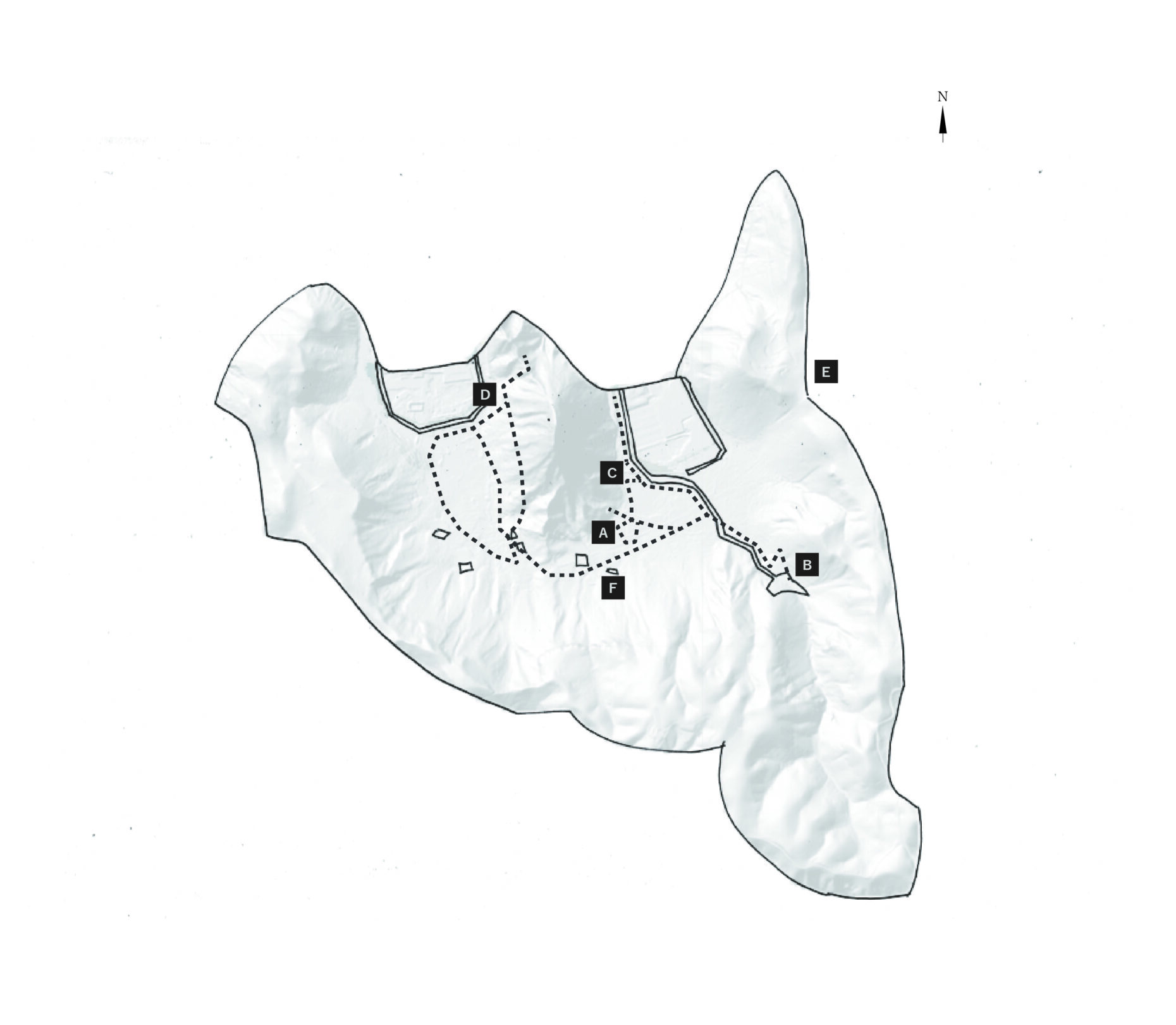
Wang Yue Fieldwork Map
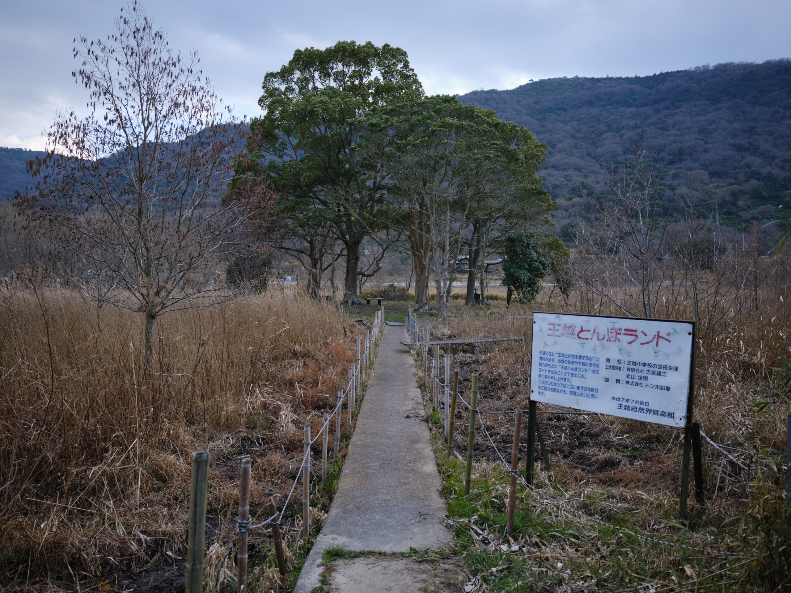
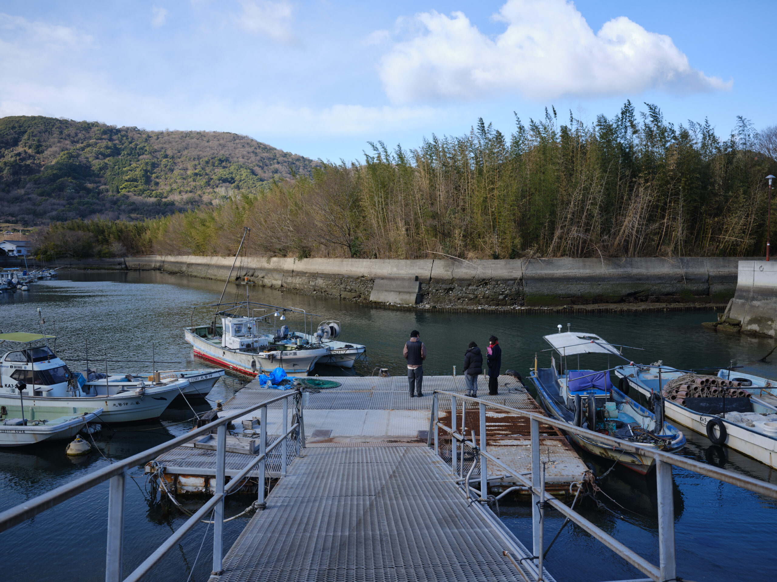
I traveled around Ogoe town, visiting more than 10 different locations from all directions. From those, I've picked out six places (A to F) that left a particularly strong impression.

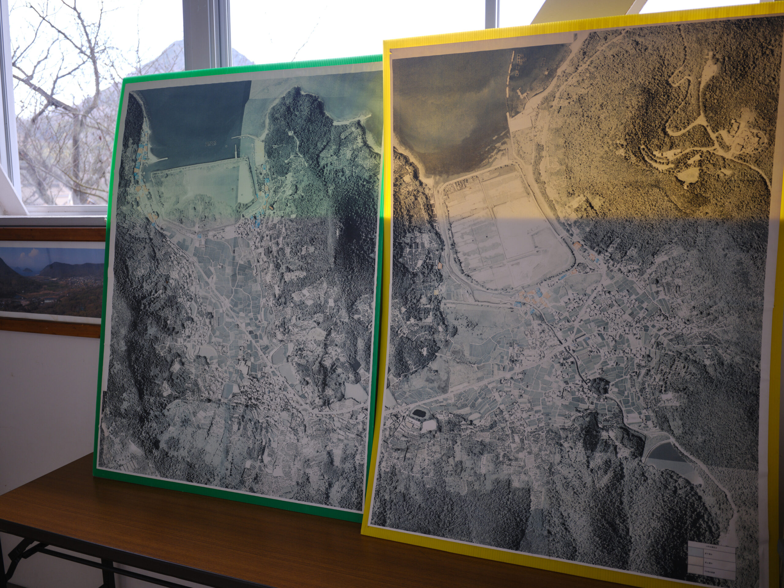
From Mountains to Sea: A Comprehensive Perspective on Wang Yue
Through a series of surveys and fieldwork, it became clear that Wangyue is not merely a coastal settlement, but a region where geology, vegetation, wildlife, and industry are intricately intertwined, forming an integrated environment that stretches from the mountains to the sea. While concrete landscapes of people who have lived in harmony with nature and unique stories of Wangyue emerged, it also became clear that much of this has already been lost, or is in the process of being lost.
Based on these insights, the starting point of the proposal was to create a new perspective that re-examines the entire Wang Yue region, with "the sea" as the central theme.

A perspective for 24 years from now
This proposal aims to explore how the relationship between nature, industry, and daily life in the Wangyue region has transformed from the past to the present, and to create an opportunity to consider what Wangyue might look like 24 years from now, based on that understanding.
As cultural anthropologist Keiichiro Matsumura says, "It is impossible to accurately predict the future, but the future is always an extension of the present,"* so we thought that creating a space to observe "what is happening here and now" would provide clues to thinking about the future.
*Reference website: [Part 4] An interview with cultural anthropologist Keiichiro Matsumura on the future of travel in five years / JTB Research Institute Co., Ltd.
Proposal Concept | An Art Trail Starting from the Sea
Dot Architects proposes an "art trail" that uses the entire Wangyue area as its field, as an attempt to re-examine the region starting from the sea. By walking around and visiting the small "crops" scattered throughout the region, visitors can overlay new perspectives on the landscapes that people once saw and observe the current environment along with the narratives. The aim is for this experience itself to become a way to think about the future relationship with the sea and nature.
Art Trail Map
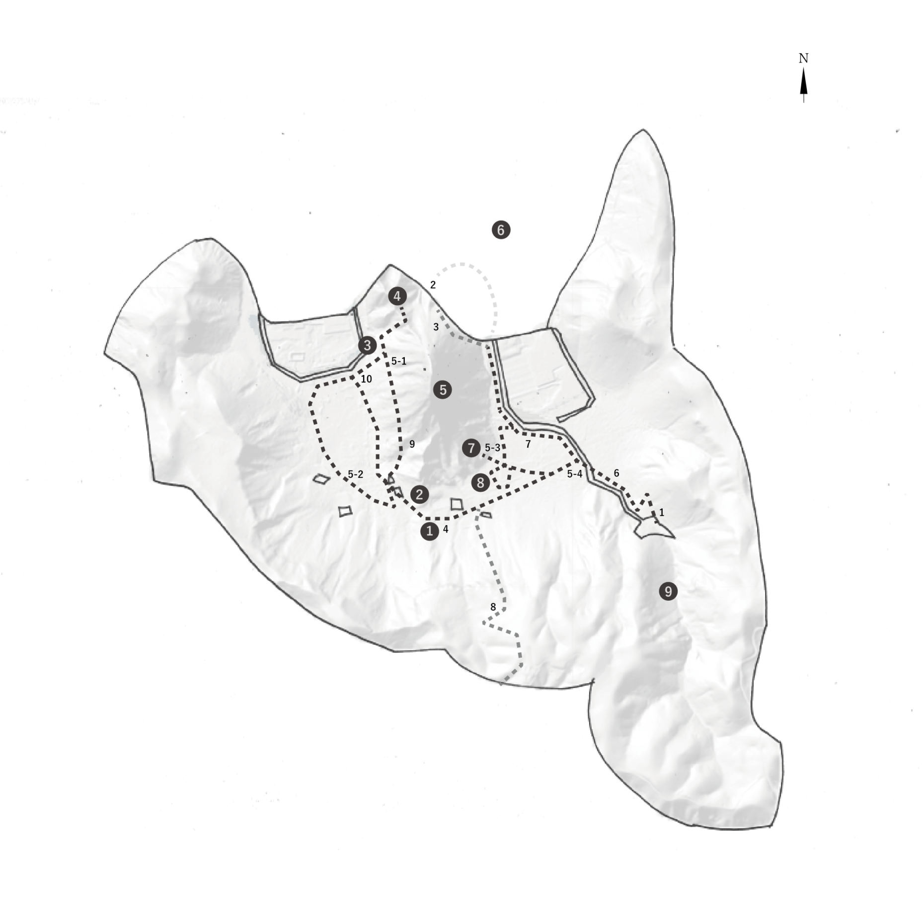
Art Trail Map Components
❶ Orchard Road
❷ Tobacco drying shed
❸ Seaside Village ~ Funatama Shrine
❹ Umemiya Hachimangu Shrine
❺Mount Wangetsu
❻ Kizawa Bay to the Seto Inland Sea
❼ Kisawa Shrine
⑧ Ouetsu Dragonfly Land
❾ Goshikidai - Hoin Valley - Tamagawa Pond
The suggestion of "crops"
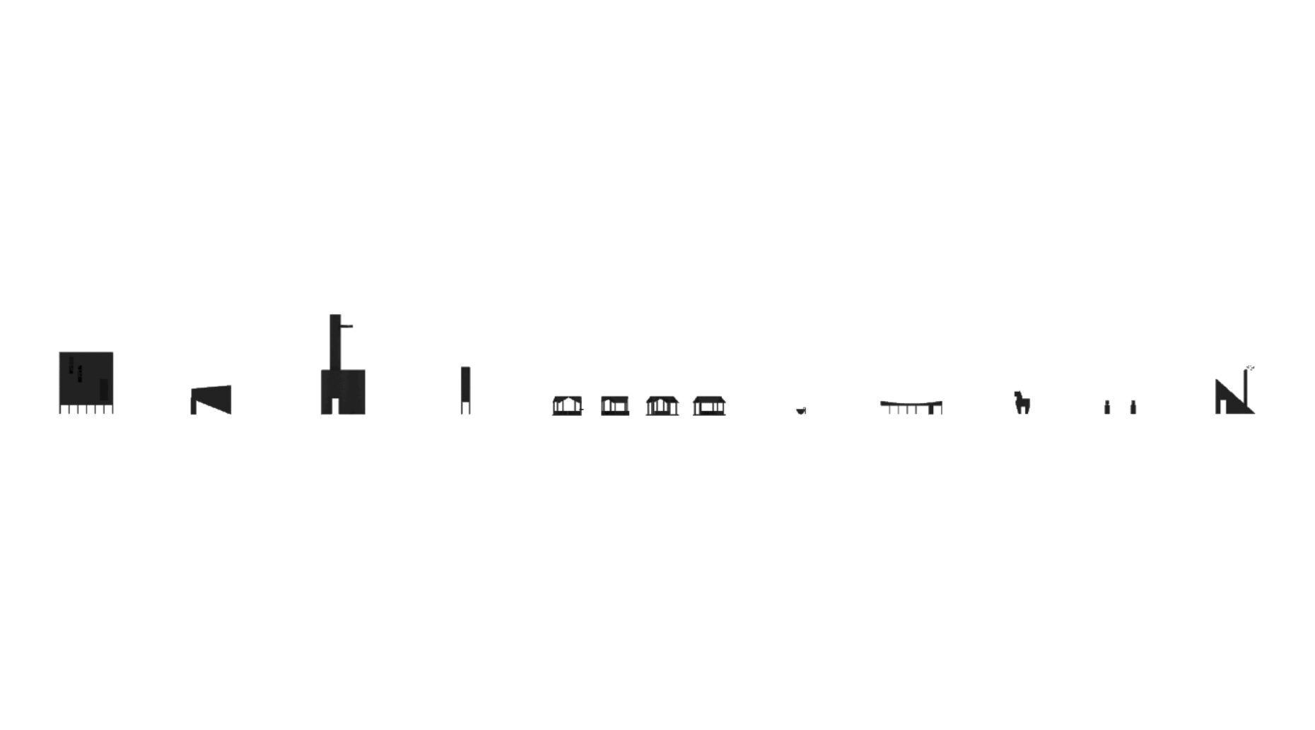
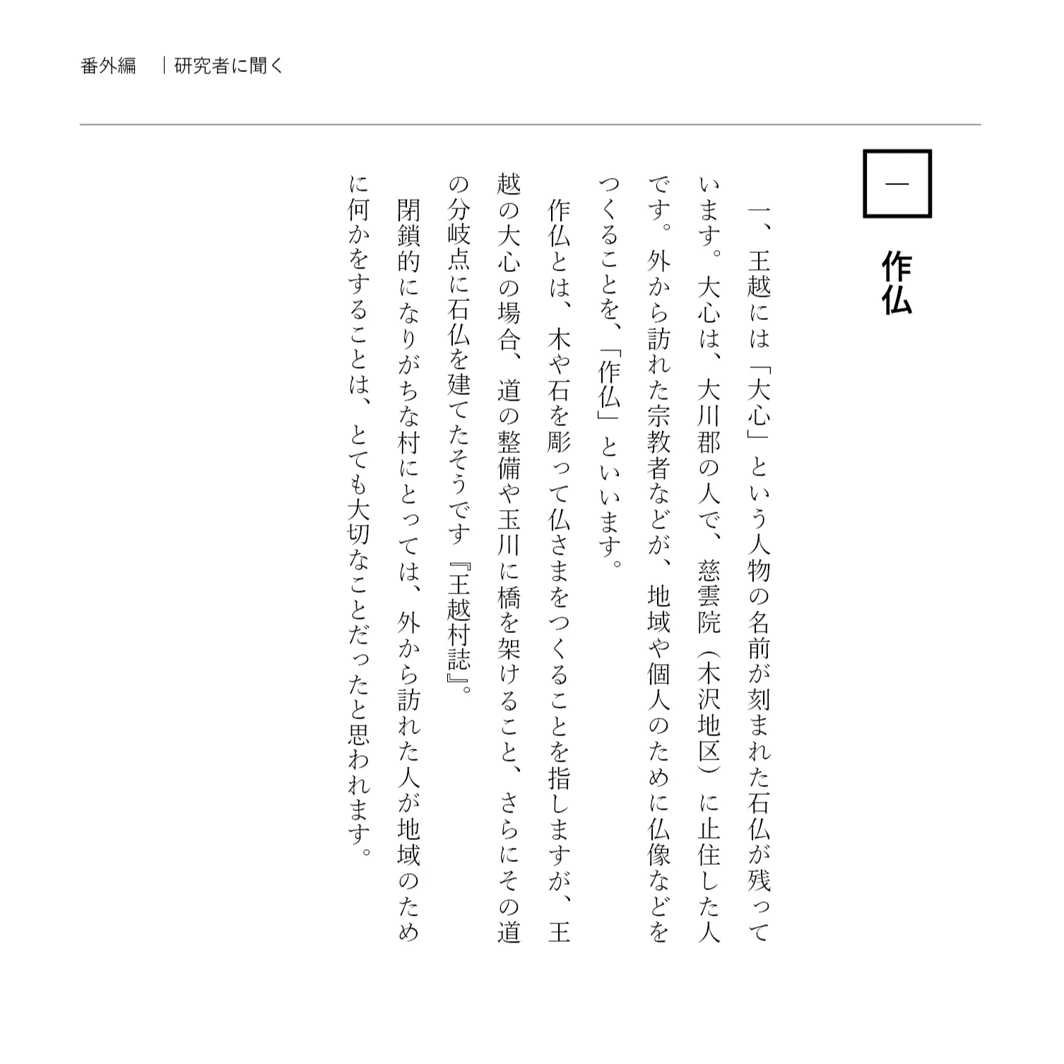
At the heart of the proposal lies the concept of "safutsu," which refers to the act of outsiders creating Buddhist statues for a region or for individuals. In addition to carving Buddhist images from wood and stone, historical records indicate that in Wangyue, roads were also maintained and bridges were built over rivers. The man-made objects in this proposal are positioned as "products" entrusted to the Wangyue region for the future. Specifically, the plan involves 10 man-made objects, or "crops," scattered along the art trail.
10 Crops Sitemap

Crop Sitemap Components
1. Mountain Observatory
2. Marine Observatory
3. Human Observatory
4. Drying shed
5. Komiya's gazebo
6. Water basin
7. Soil of Hokkaido
8. Horse path
9. Crops
10. Tokai no Ie
Reconnecting the landscapes of nature and people's lives.
The ten crops are scattered throughout the town as abstract forms, based on unique stories derived from research conducted in Wangyue. They stand quietly within the landscape, becoming spaces for observing the relationships, memories, and current situation inherent in the region. The role of architecture in this proposal is to reconnect the relationship between the natural environment and people's lives, which was once taken for granted by industry, through the experience of exploring these small buildings. The location of each crop is shown on Google Maps, and we will introduce the ten crops in order from here.
1. Mountain Observatory: A starting point for journeys from the mountains to the sea.

The "Mountain Observatory" stands on the shore of Tamagawa Pond, providing a space where birds can perch like a tree. Primarily intended for birdwatching, it also serves as a vantage point from which to overlook the landscape stretching from the mountains to the sea.
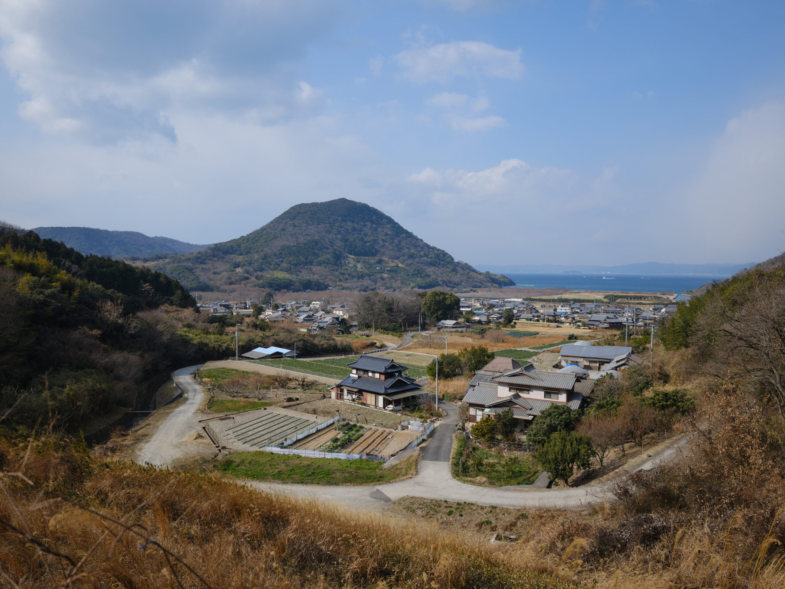
View from Tamagawa Pond.
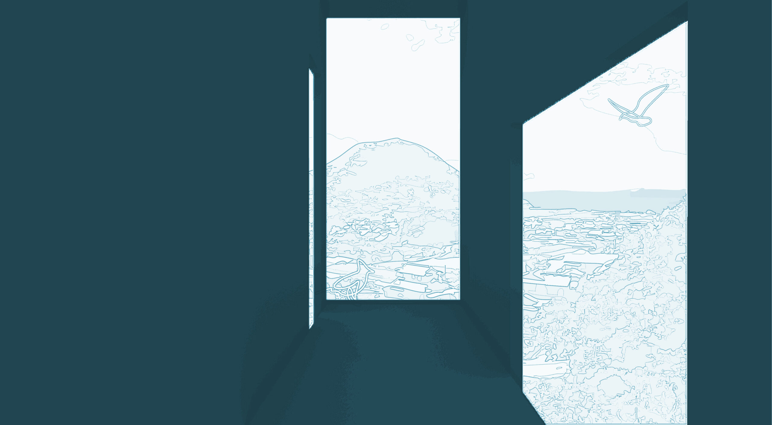
From a vantage point overlooking Mount Wangyue and the sea, we observe the birds that perch there.

2. Marine Observatories: Changing Coastlines
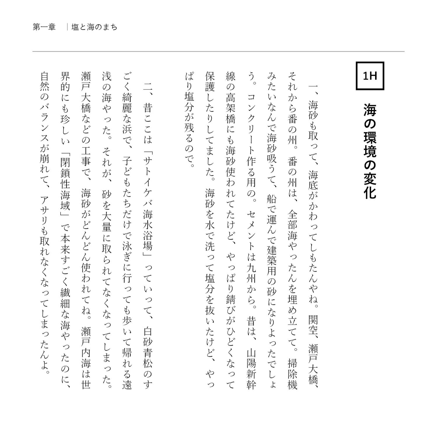
The "Marine Observatory" is a space for observing changes in the coastline. Located on the only remaining sandy beach in Wangyue, it offers a view of the scenery framed like a picture. Against the backdrop of the ever-changing coastal landscape due to development and environmental issues, it conveys memories of children playing on the rocks and the beautiful coastline with its white sand and green pines.
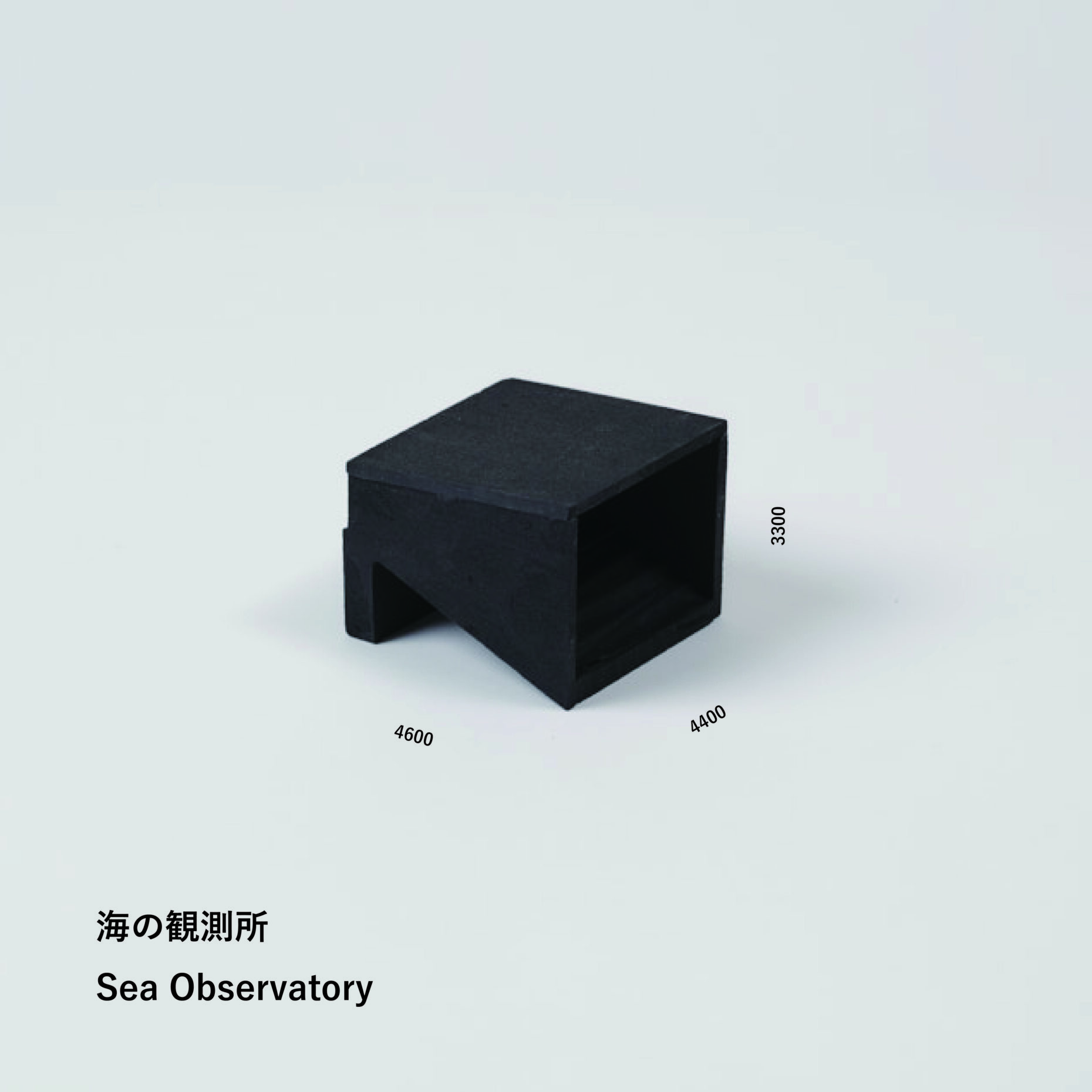
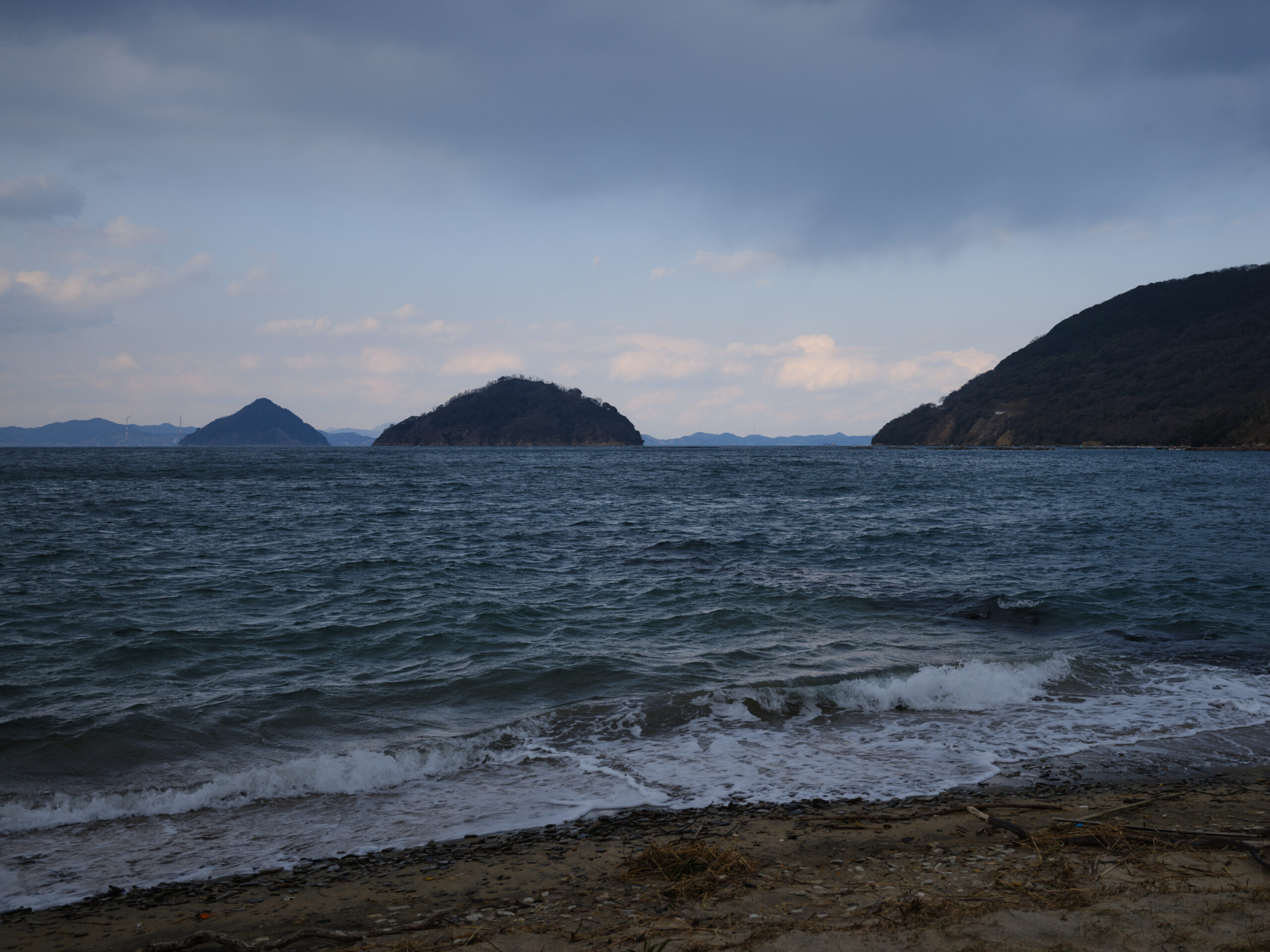
From Tamagawa to the Seto Inland Sea.

Listen to the sound of the waves, feel the wind, and gaze at the coastline.
3. Human Observatories: Protecting the Sea from Mountaintops

The "Human Observatory" is a lodging hut for observers built on top of a mountain, offering panoramic views of the sea. At night, lights are shone towards the sea, serving as a warning to poachers. This observatory has its roots in the history of a watchtower that once existed on the mountain, where people stayed overnight to keep watch for poaching.

I look at the sea from the top of the mountain.
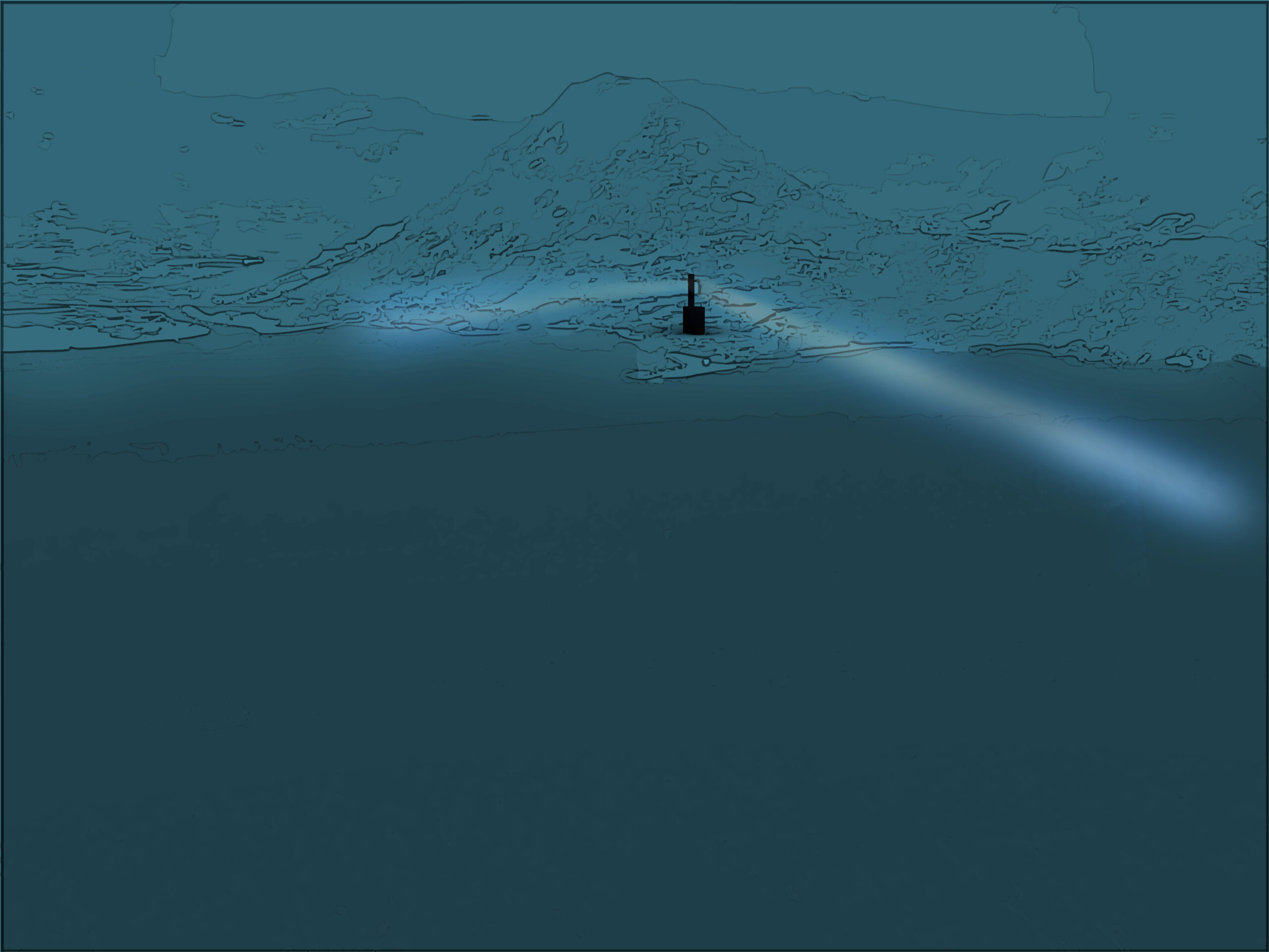
Staying overnight, we protect the sea at night.

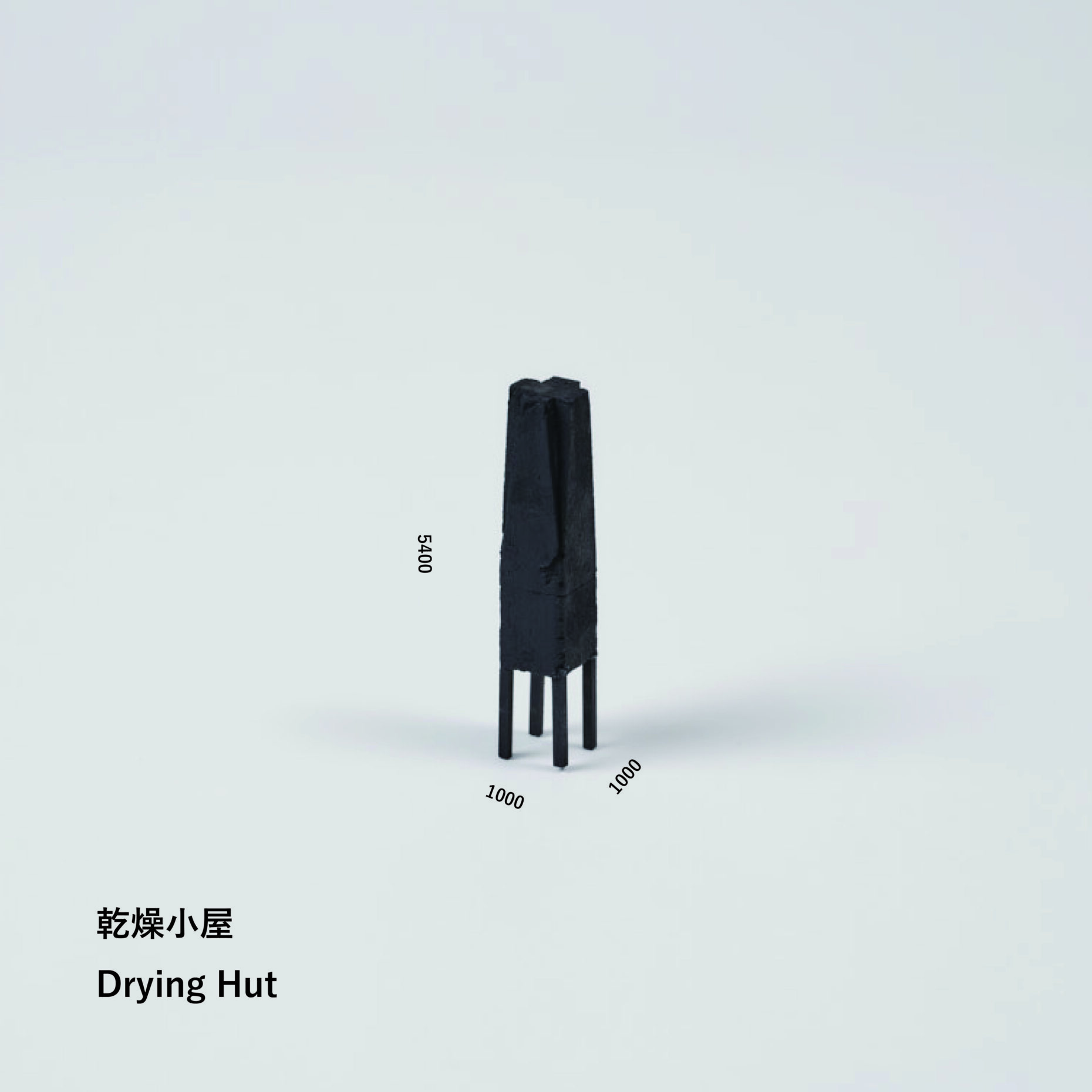
4. Drying sheds: A landscape lost with industry.
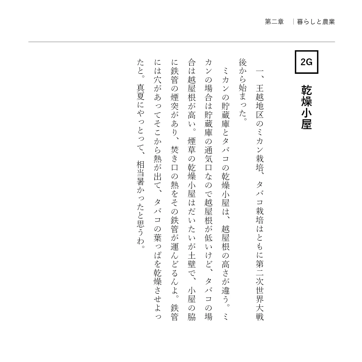
The "Drying Shed" is a small building located on the "Orchard Wang Yueh" property, where users can freely place their ingredients inside and smoke them. In modern times, Wang Yueh prospered from the tobacco industry. In the past, the town was dotted with drying sheds from which smoke rose, creating a picturesque scene. However, with the decline of the industry, that scene has disappeared, and this shed will serve as a reminder of that past.
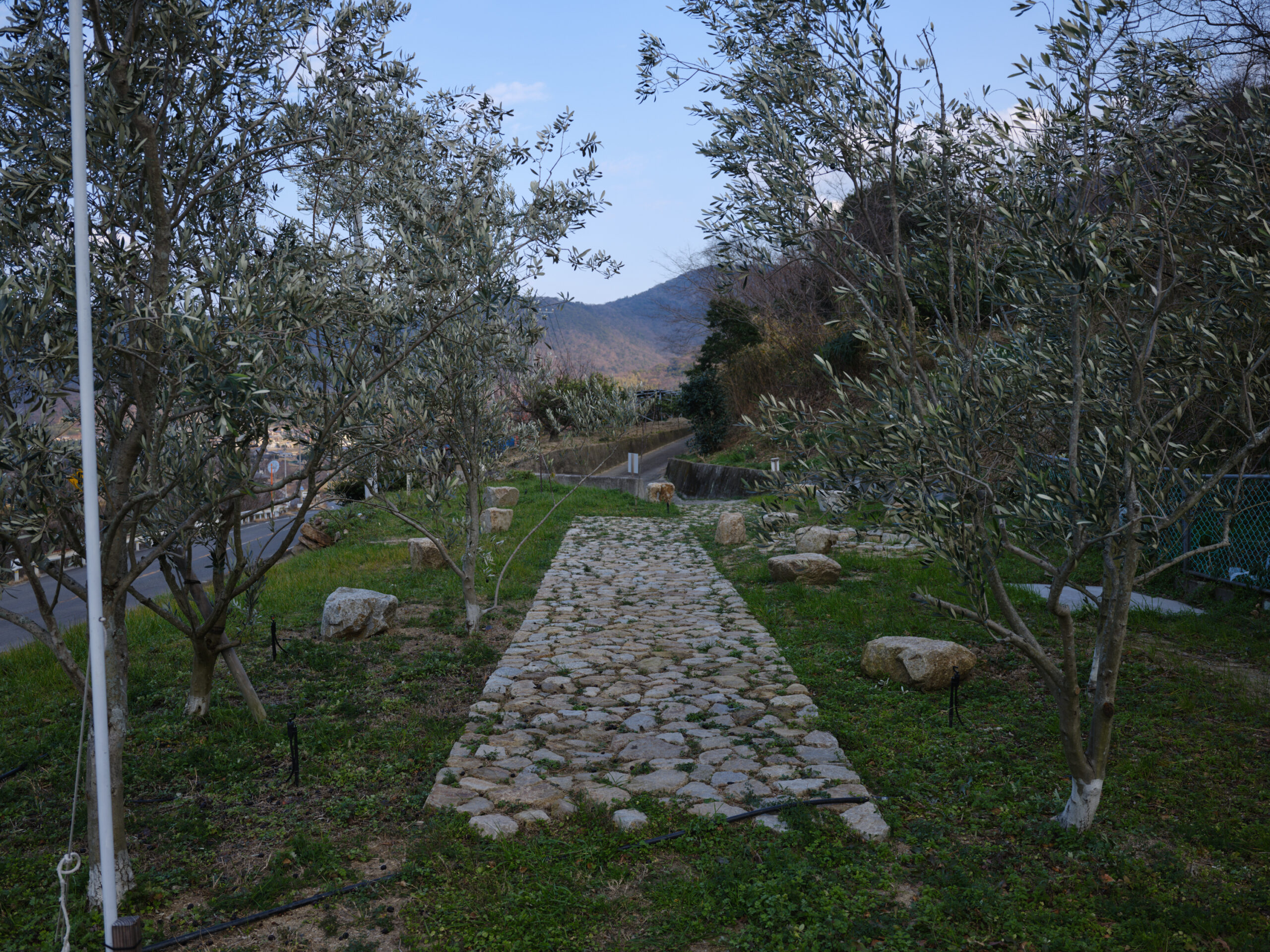
"Orchard King Yueh," a work from the Setouchi Triennale.
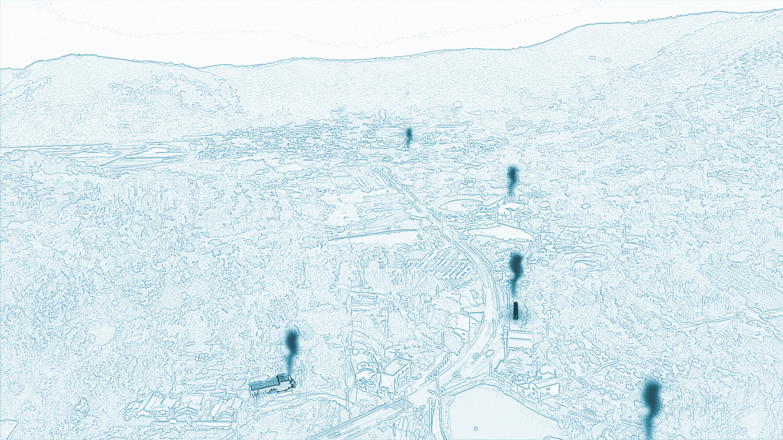
A scene of smoke rising from a drying shed.
5. Komiya's Gazebo: Connecting faith in local deities to the future.
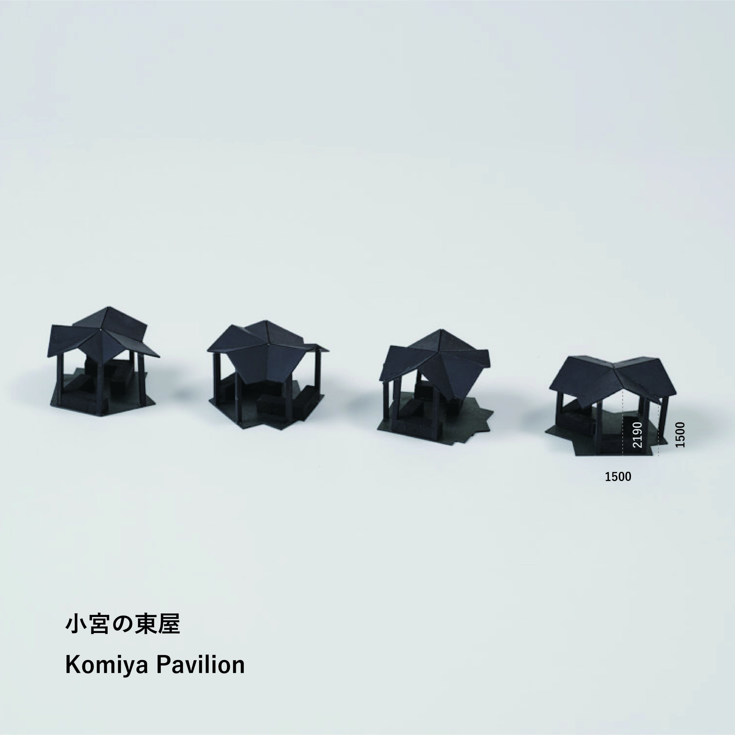
The "Komiya Azumaya" (small shrine gazebos) are small gazebos with overlapping roofs, located in four places in Ogoe. They are situated in the center of several small shrines, with each roof facing the direction of its respective shrine. These gazebos are positioned as places to connect the memory of the fading faith in local deities, taking into account the historical background of the numerous small shrines remaining in the Ogoe region. (*Here, "Komiya" refers to small shrines.)

Top left: Kisawa Shrine, bottom left: Misaki Shrine, top right and bottom right: Umemiya Hachimangu Shrine.
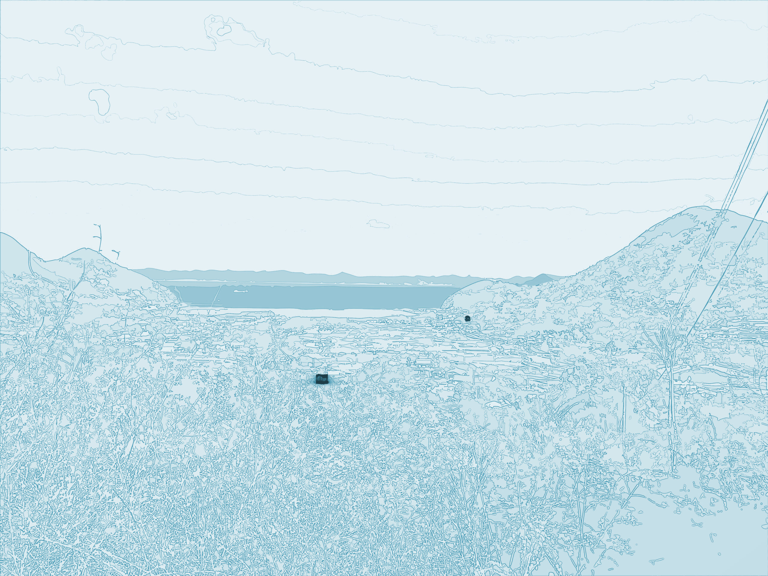
"Komiya Azumaya" is located in the Nou district, on the west side facing the Seto Inland Sea.

6. Water basin: A vital resource for all living things
A "water basin" is a container for storing rainwater, a small body of water that offers the potential for various creatures to live in. Even today, diverse creatures live along the river. For the people of Wangyue, water has long been a precious resource, and in times of water shortage, they would dig holes in the ground to store water and use it for rice cultivation.

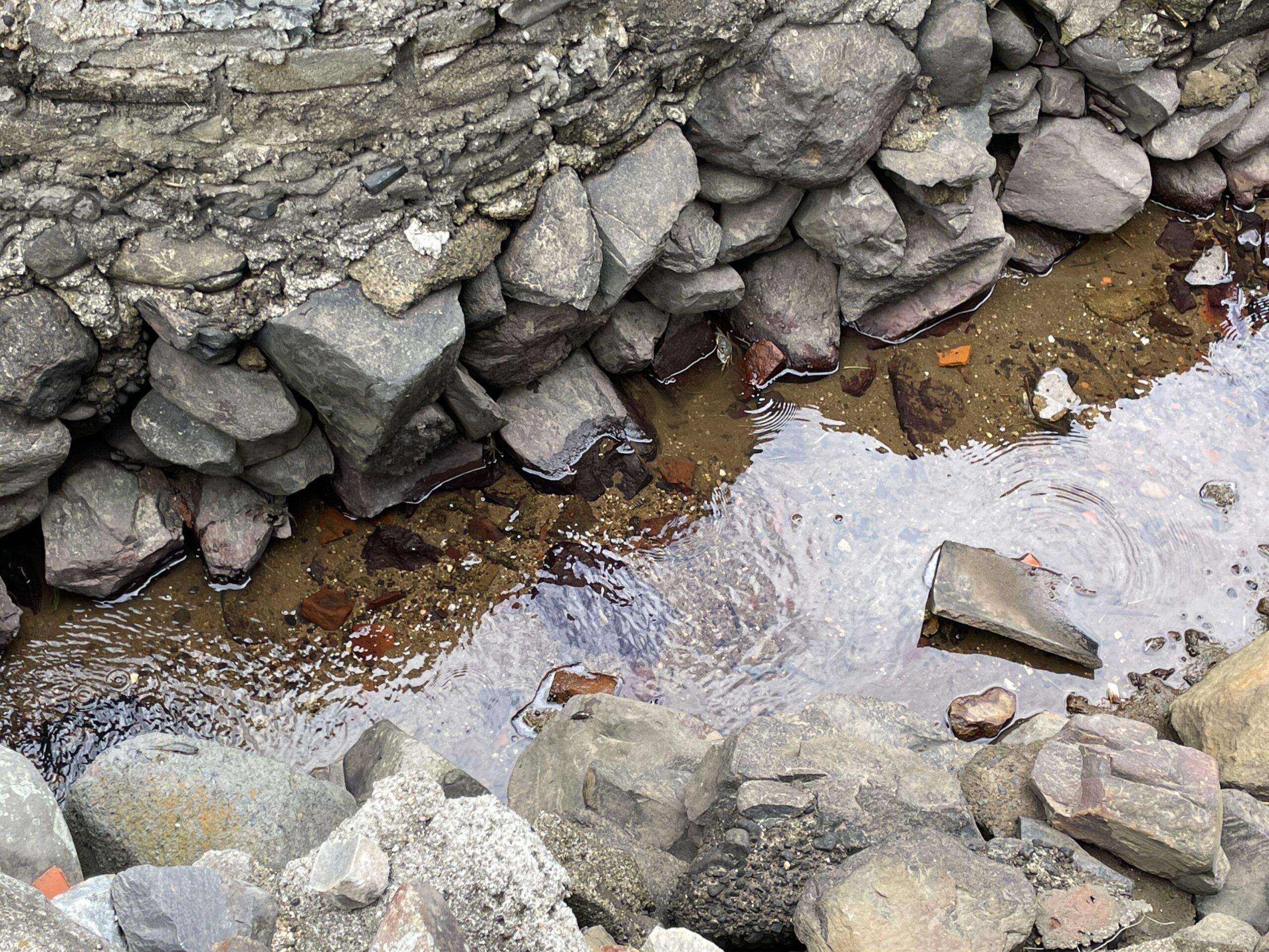
Crabs gathered by the water's edge (photo: dot architects).
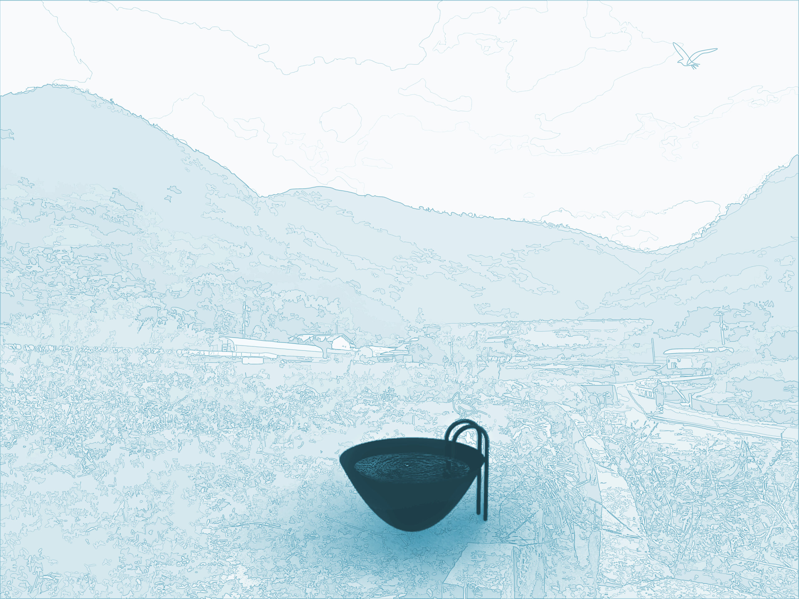
You can observe creatures that have come in search of water.
7. The soil of Hokkaido: Plants quietly tell stories of connections to distant lands
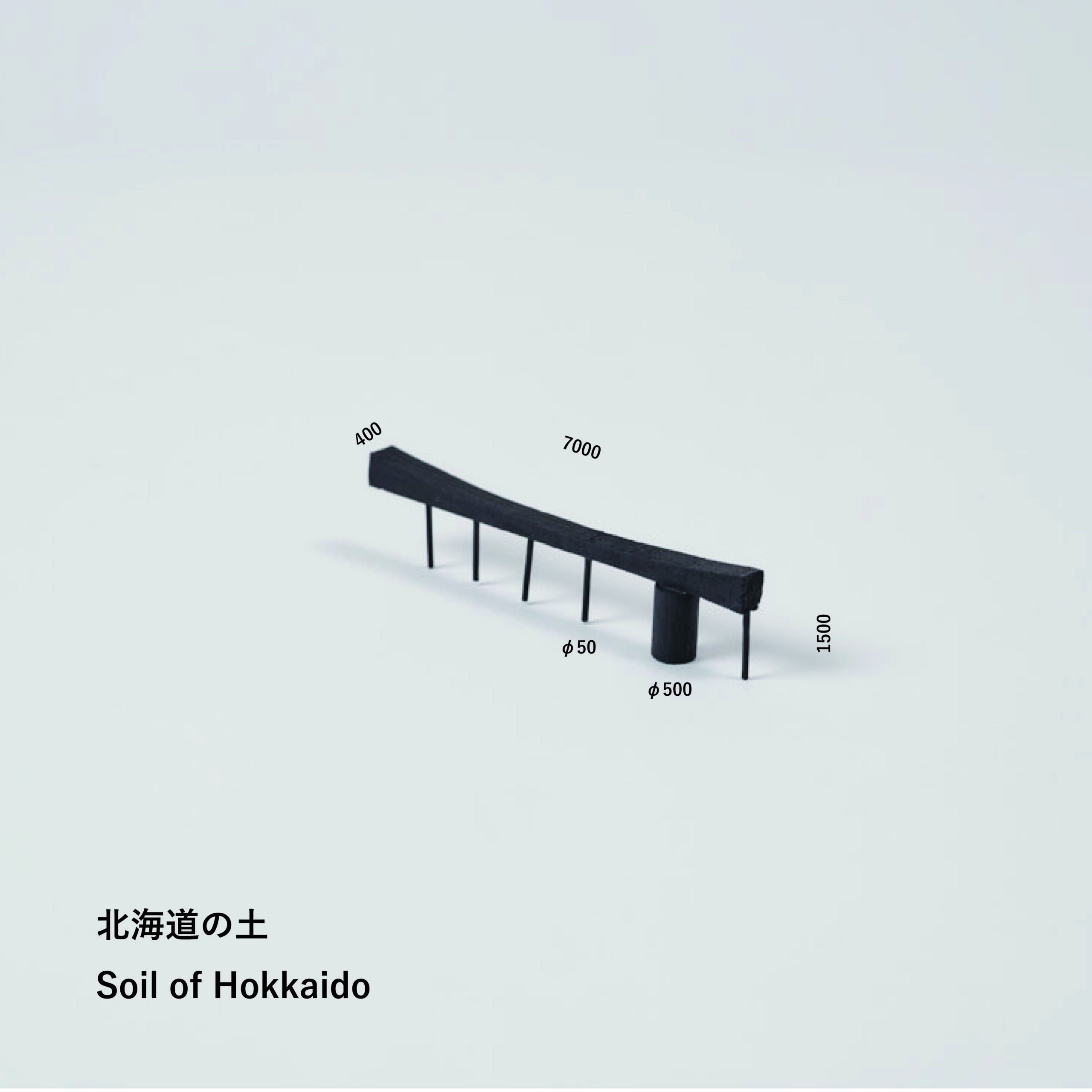
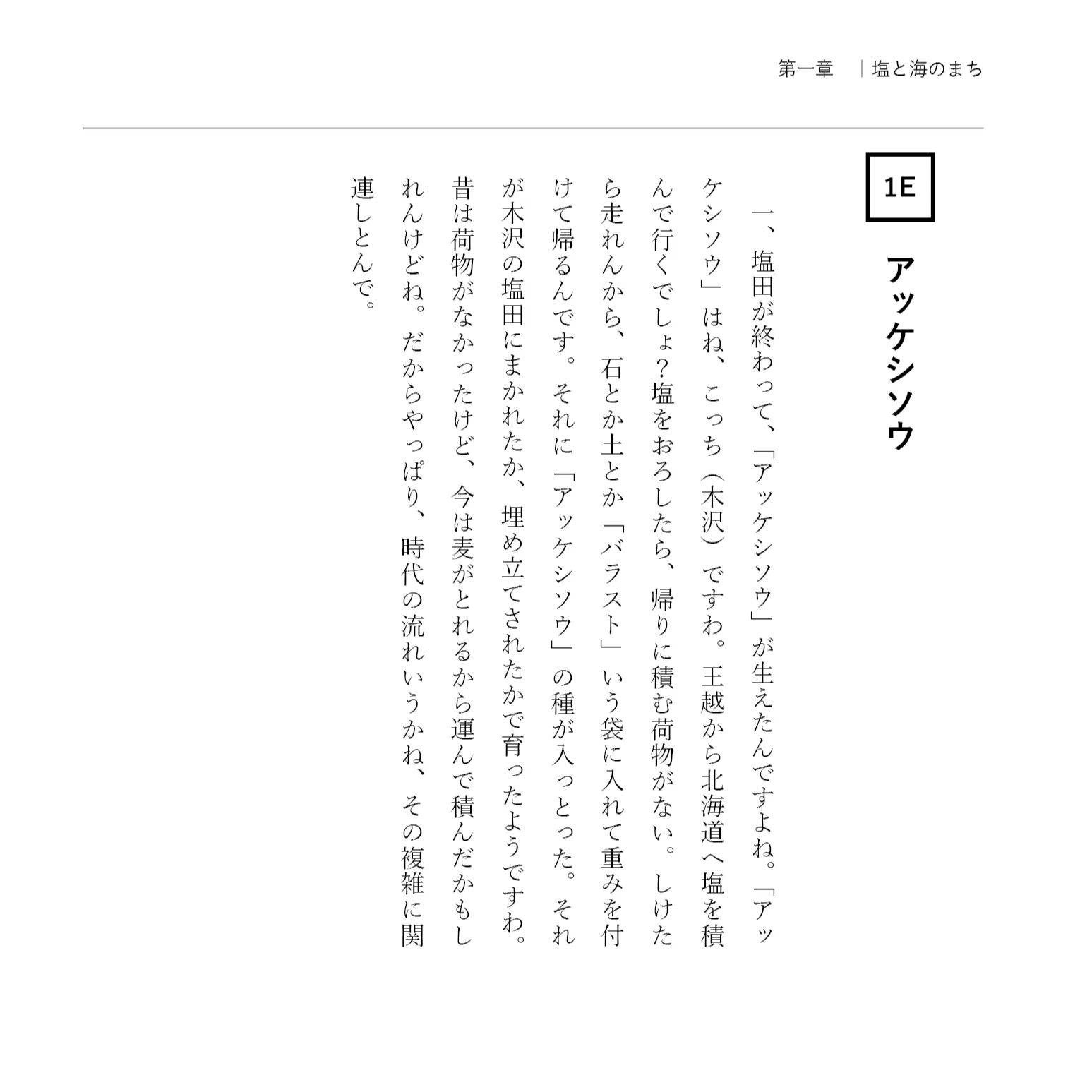
The vessel, shaped like a boat, contains soil from Hokkaido. The location is a wasteland where glasswort now grows wild. The former salt field site, now an industrial waste disposal site, was once covered in a landscape of crimson glasswort. This symbolized the trade conducted by Kitamae ships in this area and its industrial connection to Hokkaido. At that time, it is said that stones and soil, packed in bags to be used as weights, were transported in exchange for salt sent from Wangyue. "Hokkaido soil" is positioned as something that conveys the memory of the lost landscape and the trade conducted across the sea.
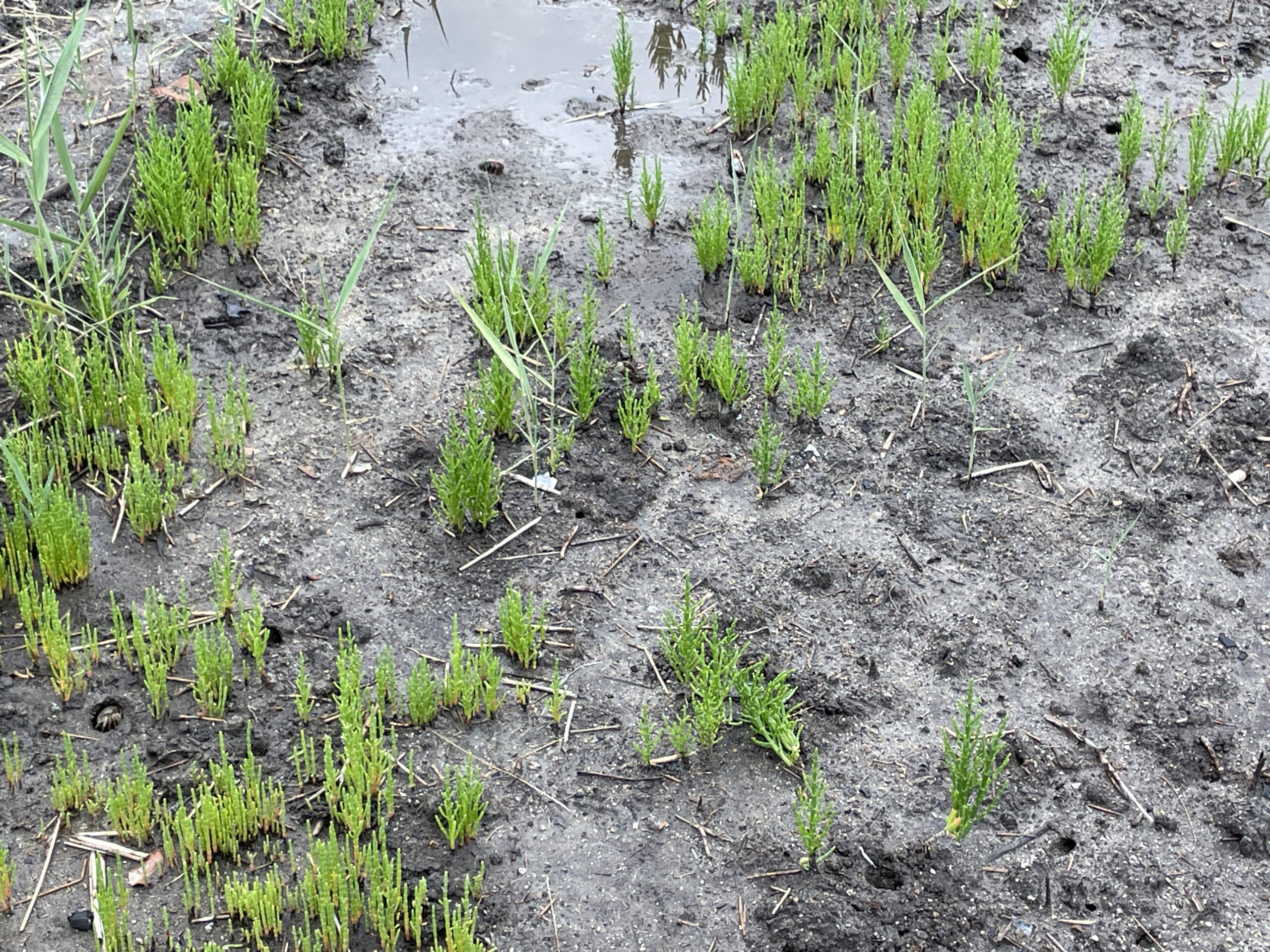
Glasswort growing in Ogoe Town (photo: dot architects).
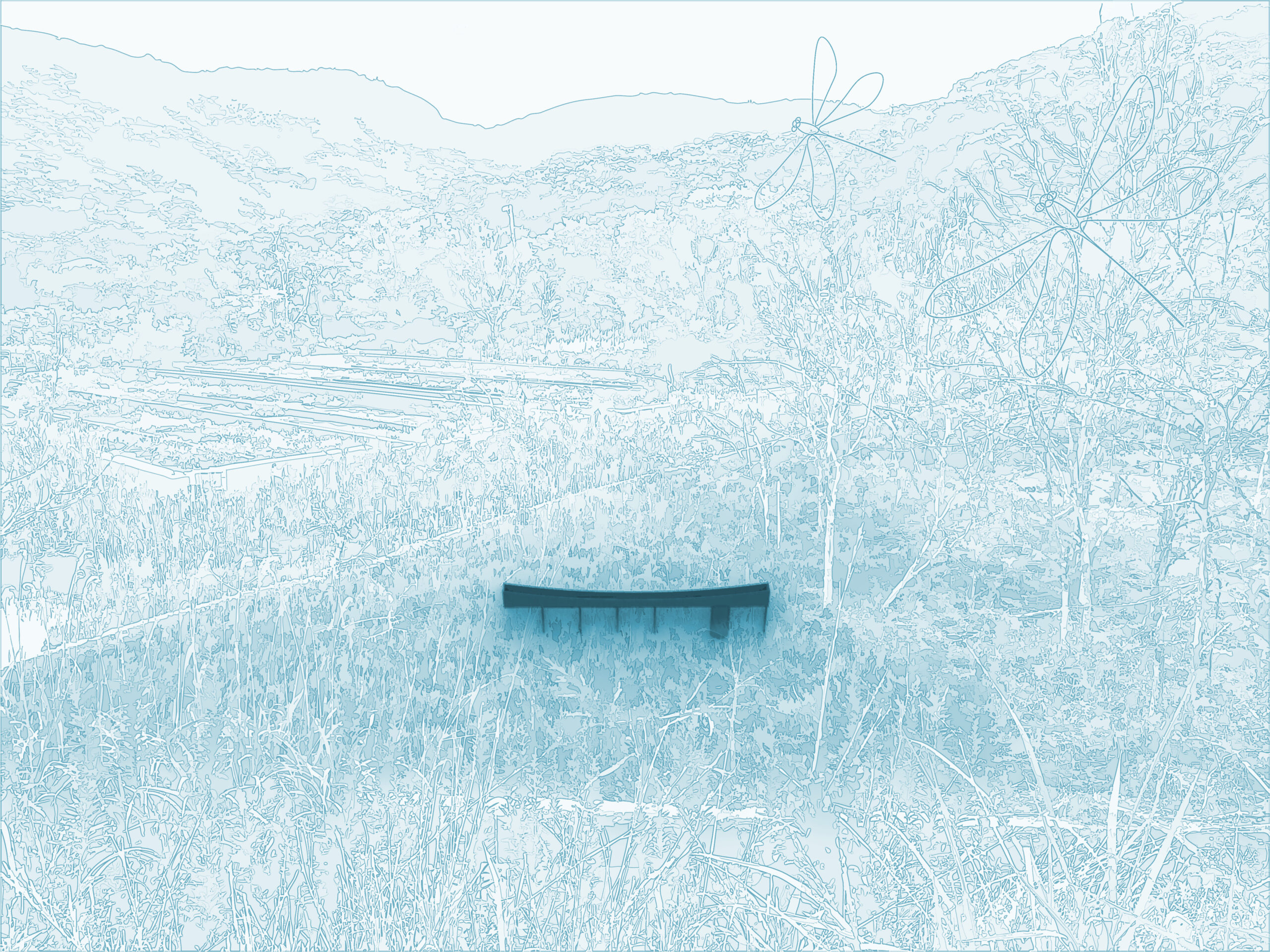
The crops, whose shapes are reminiscent of Kitamae ships, trace the history of the sea.
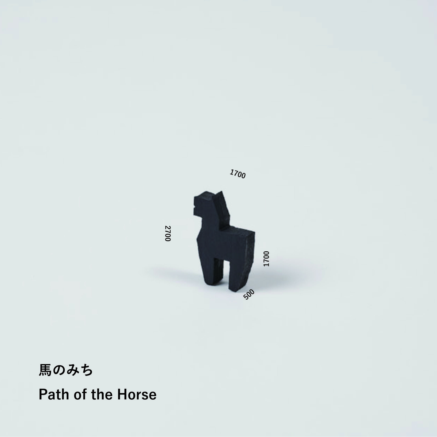
8. The Horse's Path: A path where people and horses crossed the mountains together, and the memories of the settlement at the end of it.
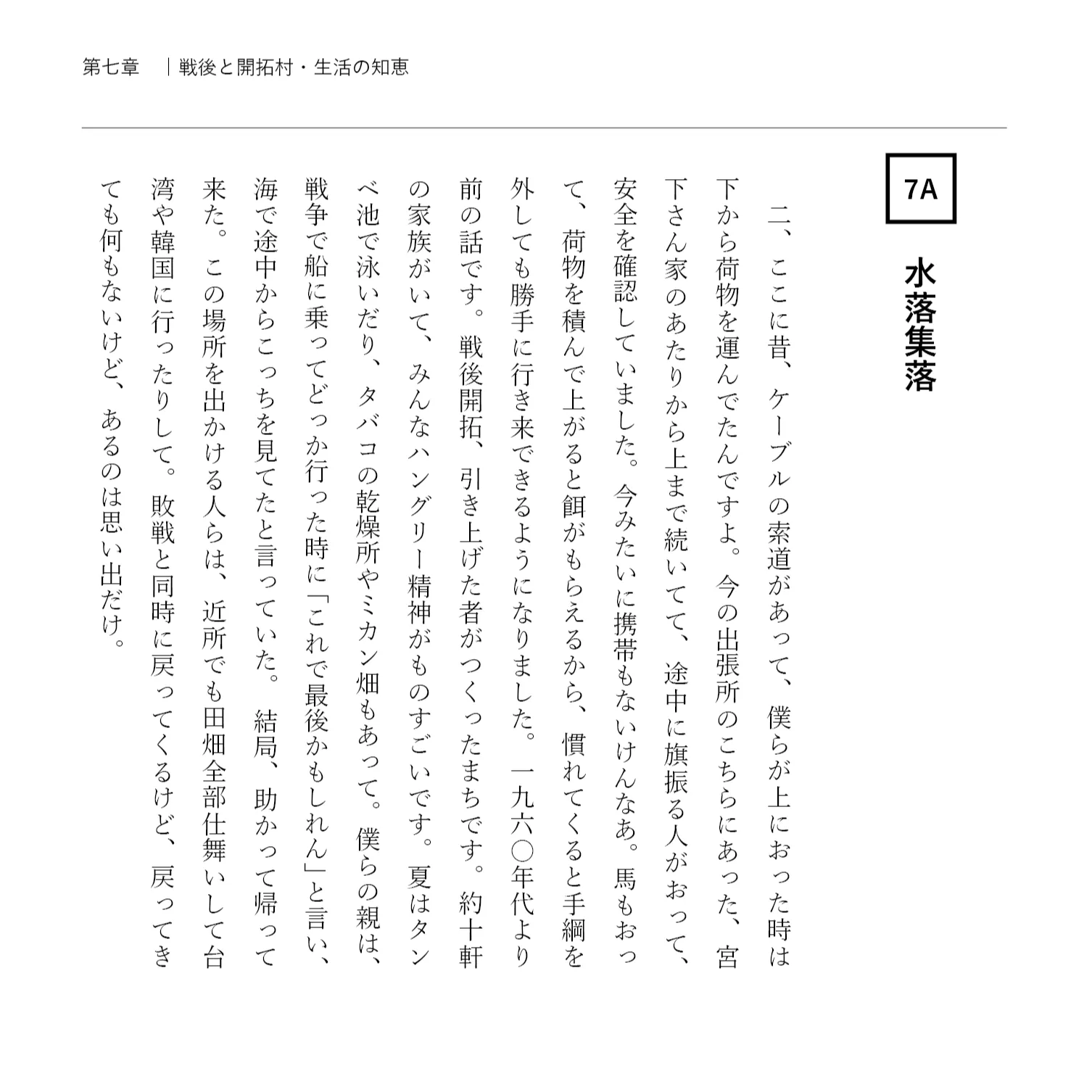
"The Horse's Path" is placed as an object along the road leading to a settlement that once existed. In the post-war settlement of Mizuo, located on the mountains south of Ogoe, horses supported people's lives by carrying goods. This path conveys the memory of the settlement that has now disappeared and the time when people and horses lived together.

This path leading over the mountains is currently blocked by overgrown bushes.
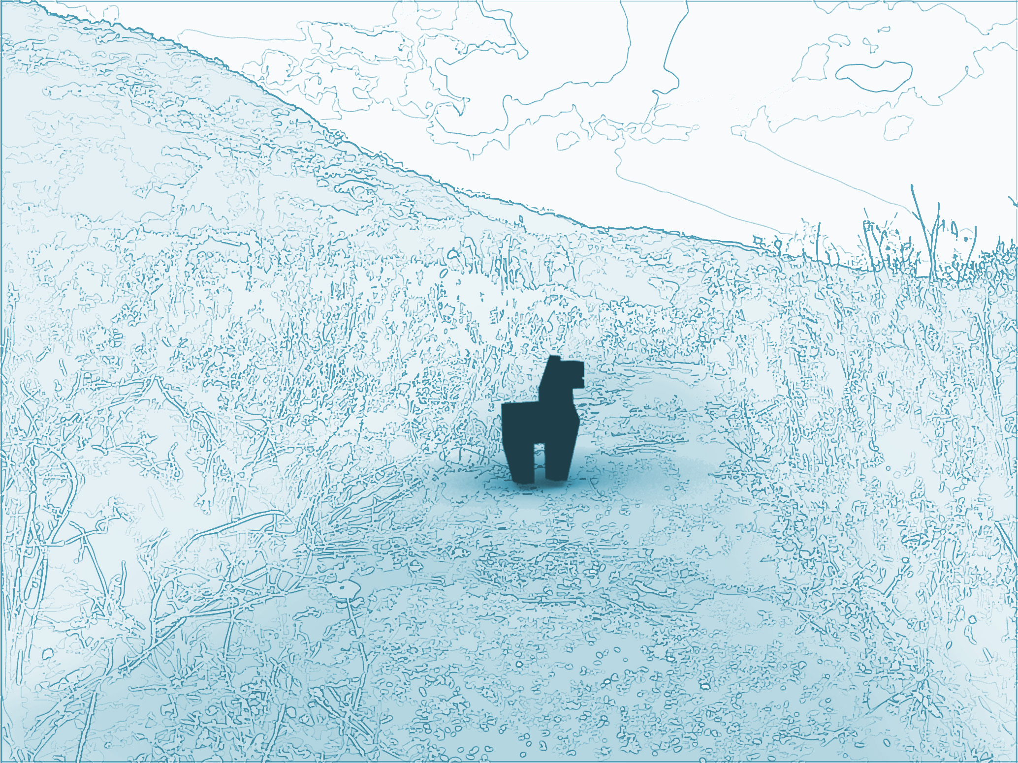
It stands in the middle of a mountain pass.
9. Crops: Development to connect the paths we once walked to the future.

The "crops" are objects placed along the old approach to the shrine. These objects are one example of the concept of "making Buddha statues," which is also the overall theme, and are based on the historical background that "stone Buddha statues were erected at the forks in the road in conjunction with the maintenance of the road." Following the restoration of the old approach in 2025, we will continue to restore the roads that are gradually disappearing, and at the same time, we will gently place these crops along the roads as markers indicating the beginning of the old roads.
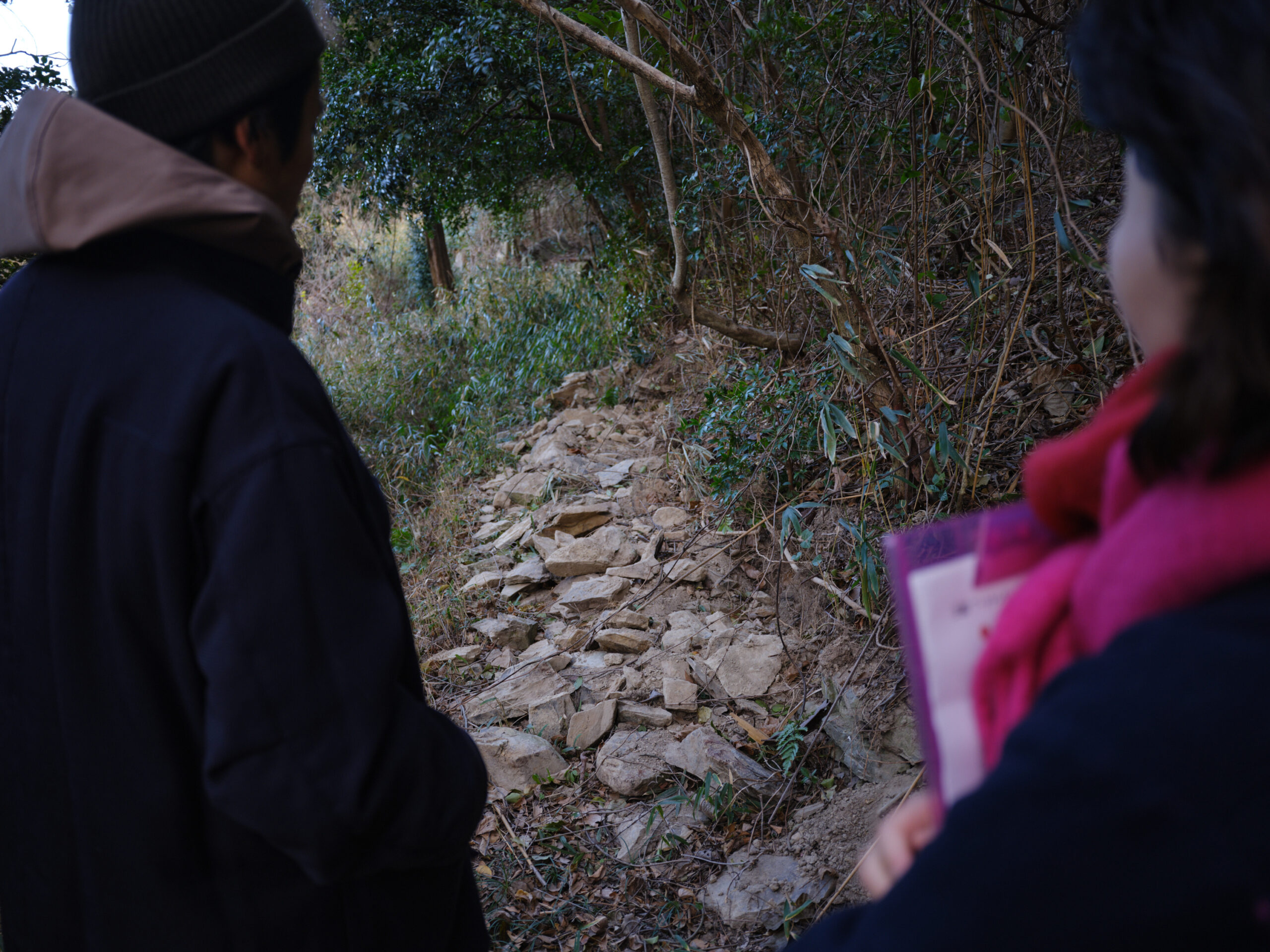
Walking along the old approach to the shrine.
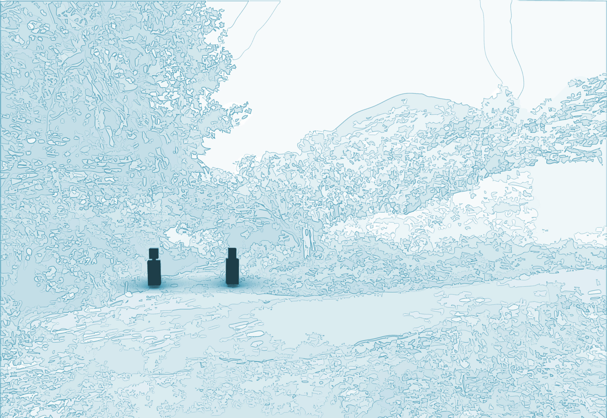
The entrance to the old approach to the shrine.
10. Tokai no Ie: Everyday life with the sea and the scenery they saw.
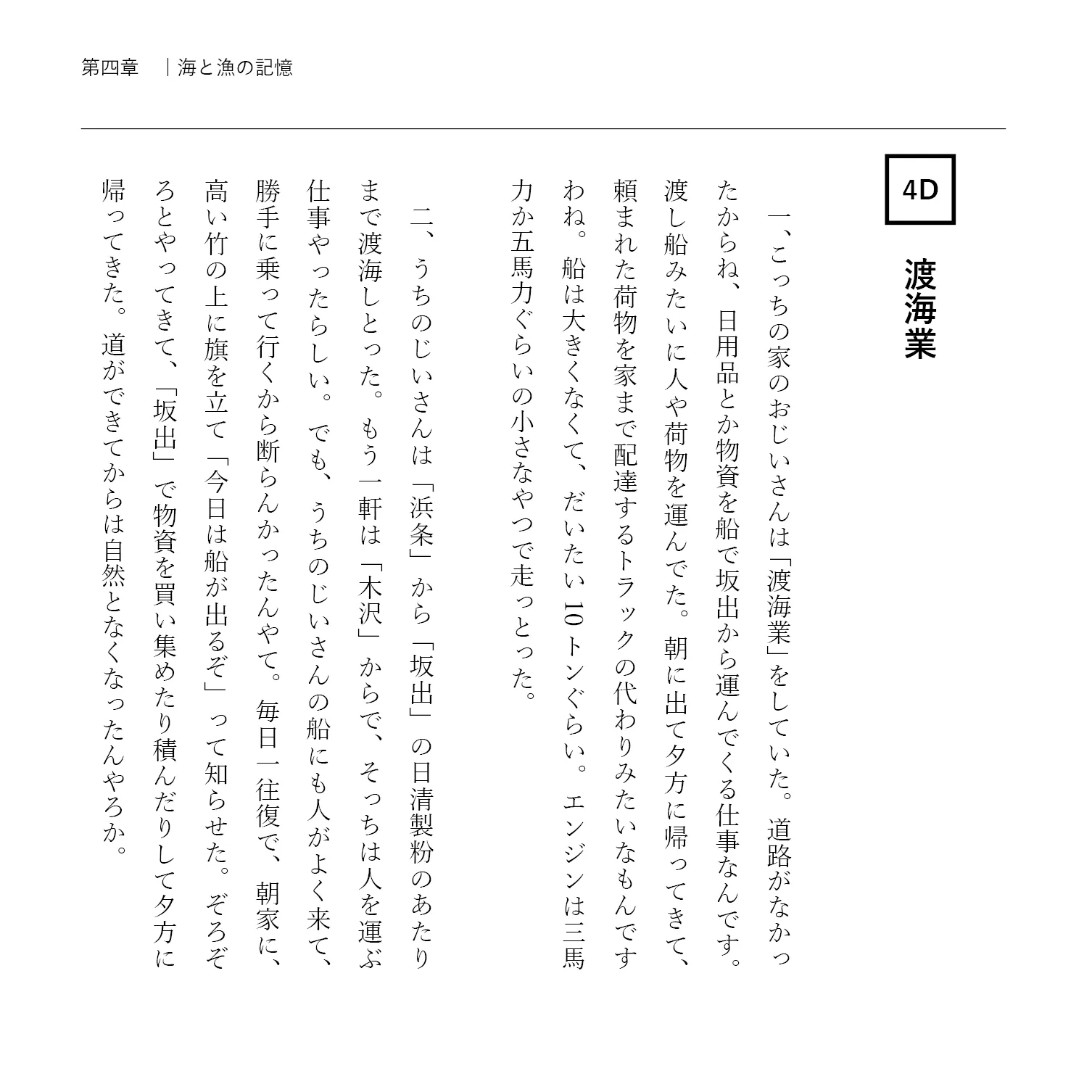
"The House of the Sea Crossing" is a house located in a seaside settlement. Climbing the ladder, you can see a flag fluttering in the wind and the Seto Inland Sea stretching out before you. In the past, in the settlement on the coast of Ogoe, there was a job called "sea crossing business," which involved transporting goods and people, and on the morning of the day of departure, a flag would be raised on a bamboo pole propped up against the house to signal the departure of the ship.

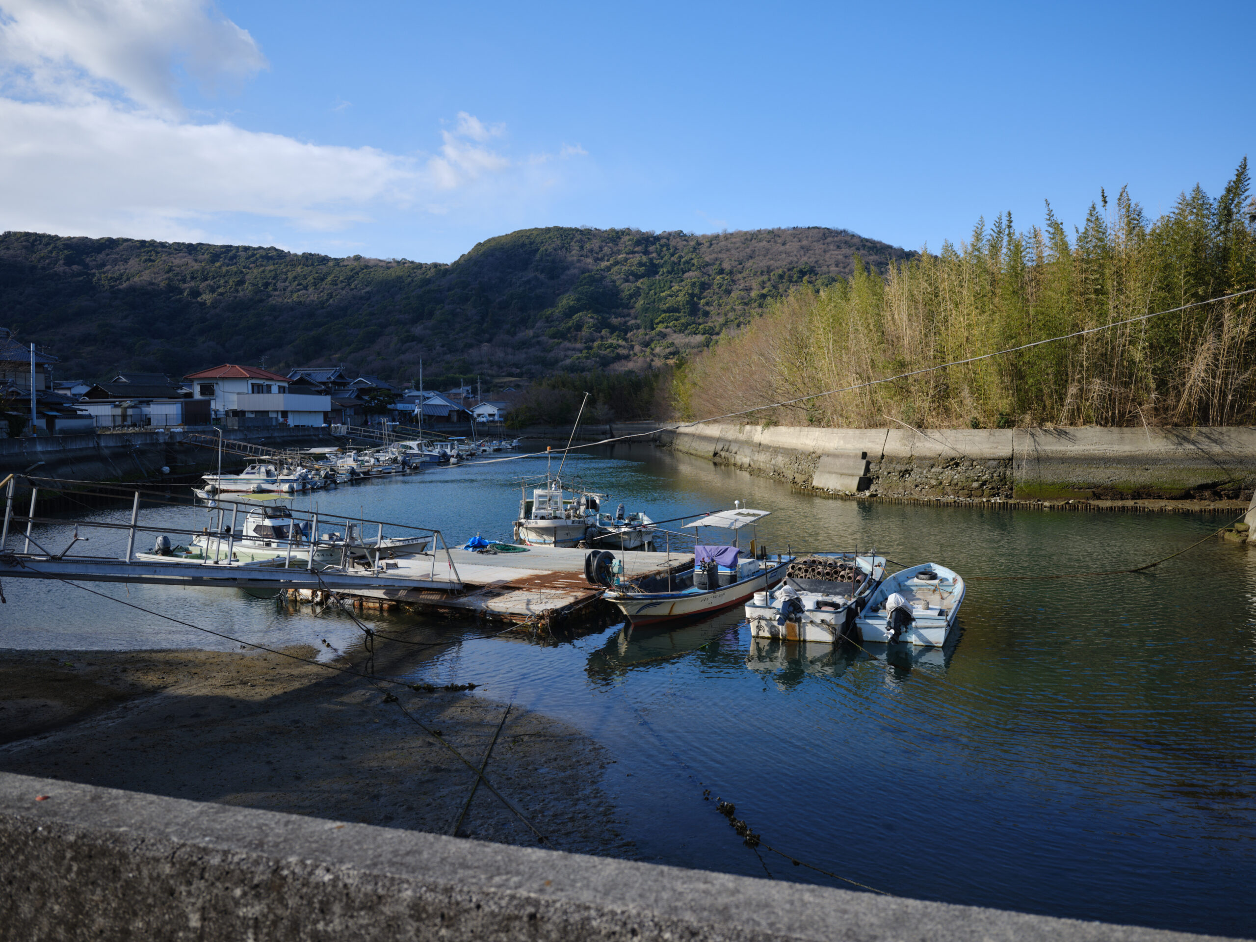
Hamajo has long been a settlement with many sailors.
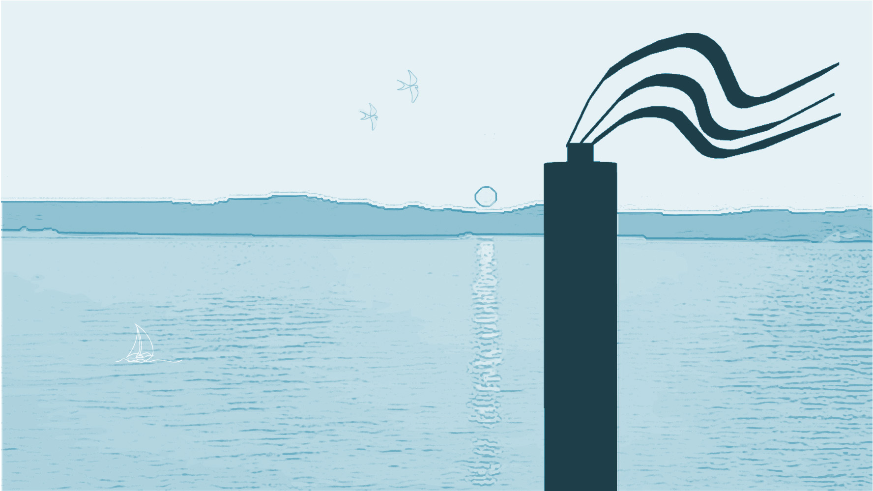
Climbing the ladder, you'll see the sunrise over the Seto Inland Sea.

Text & Edit: dot architects
Edited by: 3710Lab
Photos: Ichiro Mishima